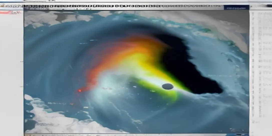
Deep inside a dimly lit control room in Miami, Florida, screen lights flicker against the determined faces of veteran meteorologists. Outside, the world moves on blissfully unaware, but on these monitors, a ominous crimson spiral is taking shape over the warm, open waters of the Atlantic Ocean. This is the heart of the NOAA National Hurricane Center (NHC)—where science, technology, and human courage intersect to race against nature's most destructive phenomena.
The Anatomy of a Monster: How NOAA Tracks Ocean Giants
Understanding a NOAA hurricane forecast requires looking far beyond the evening news graphic. It begins thousands of feet above the sea, where brave aircrews known as the Hurricane Hunters fly directly into the turbulence of the eyewall. These specialized aircraft drop instruments called radiosondes into the abyss, measuring pressure, wind speed, humidity, and temperature in real-time.
Simultaneously, a constellation of geostationary satellites beams down millions of data points every second. By processing these atmospheric variables through advanced numerical weather models, scientists can map out a storm's DNA before it even threatens land.
"Every decimal point in atmospheric pressure tells a story. It tells us whether a community has 48 hours to evacuate or if a family's sanctuary will stand strong." — Veteran NOAA Atmospheric Scientist
Decoding the Forecast: Beyond the 'Cone of Uncertainty'
For decades, the public has relied on NOAA's famous graphic: the cone of uncertainty. However, misinterpreting this tool can carry fatal consequences. The cone tracks only the projected path of the hurricane's center, not the reach of its destruction.
When a tropical cyclone approaches, catastrophic hazards spread hundreds of miles outward from the eye. To provide a clearer, life-saving picture, NOAA has evolved its reporting to highlight specific threats:
- Storm Surge Warnings: Mapping abnormal, life-threatening sea level rises driven by powerful winds.
- Extreme Wind Warnings: Pinpointing areas where tornado-like structural damage is imminent within hours.
- Inland Flooding Hazards: Tracking slow-moving atmospheric rivers that dump feet of rainfall far from the coastline.
The Invisible Engine: Climate Dynamics and Supercharged Atlantic Waters
Why are modern hurricanes intensifying faster than ever before? NOAA research points directly to ocean heat content. Deep, warm tropical waters act as high-octane fuel for developing storms. When atmospheric conditions align—low wind shear and high moisture—a modest tropical depression can transform into a Category 5 monster in less than 24 hours.
This phenomenon, known as rapid intensification, represents one of the greatest challenges in modern meteorology. NOAA's investment in autonomous ocean drones (Saildrones) and AI-driven modeling is opening a new frontier in predicting these sudden surges in storm intensity.
Building Your Shield: Life-Saving Hurricane Preparedness
Science and satellite data are only as effective as the action they inspire. When NOAA issues a watch or warning for your region, seconds count. Transforming raw information into personal safety requires a clear, executed plan long before the skies turn grey.
Essential Readiness Steps:
- Know Your Evacuation Zone: Local emergency management dictates evacuations based on NOAA storm surge projections. Identify your zone early.
- Secure Essential Supplies: Maintain a minimum 7-day supply of non-perishable food, fresh water (one gallon per person per day), medications, and emergency power sources.
- Harden Your Home: Install hurricane shutters or plywood, reinforce garage doors, and trim loose tree branches that could become airborne missiles.
- Stay Connected: Keep a battery-operated NOAA Weather Radio nearby to receive direct, real-time alerts even when cell towers fail.
As ocean temperatures rise and storm seasons grow increasingly unpredictable, the vigilance of NOAA's meteorologists serves as our first line of defense. By respecting the power of these atmospheric giants and staying informed through verified NOAA updates, communities can weather even the fiercest tempests.
Sıkça Sorulan Sorular
NOAA meteorologists combine ocean temperature data, atmospheric pressure models, El Niño/La Niña cycles, and historical trends to forecast seasonal hurricane activity.
A Hurricane Watch means hurricane conditions are possible within 48 hours in the specified area. A Hurricane Warning means hurricane conditions are expected within 36 hours and immediate protective action is required.
The cone represents the probable track of the center of a tropical cyclone over a 5-day period. It does not indicate the full size of the storm or where impacts will occur outside the central path.